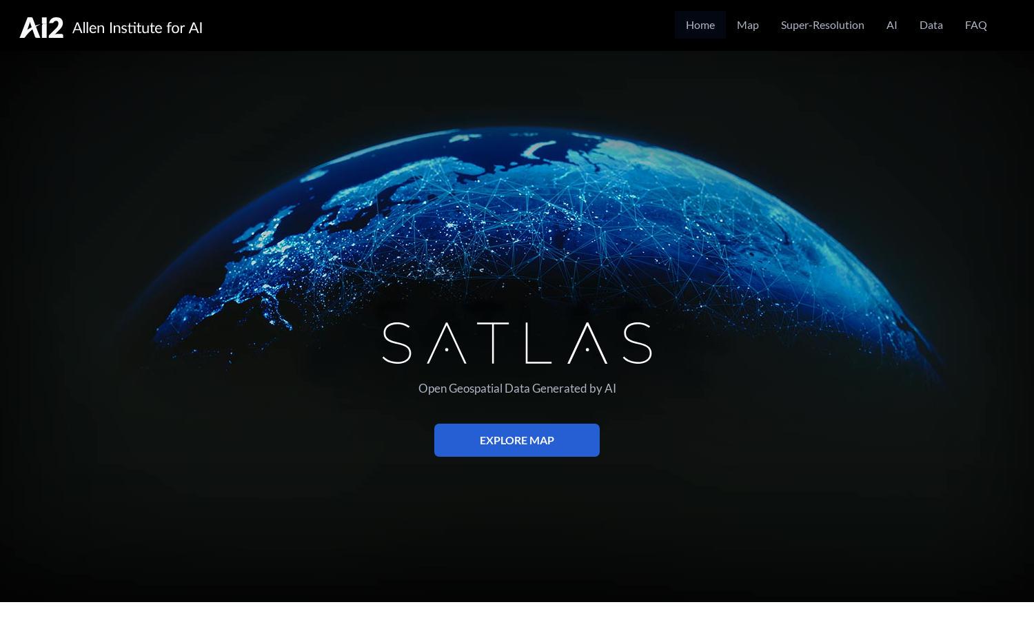
Satlas

About Satlas
Satlas is a powerful tool for researchers and environmentalists alike, focusing on the ongoing changes to our planet. By harnessing AI-annotated satellite imagery, users can easily navigate and analyze significant shifts in infrastructure, forestry, and renewable energy developments. Discover the future of geospatial data with Satlas.
While specific pricing information is not provided, Satlas offers free access to its AI-generated geospatial datasets, enabling users to analyze and utilize data effectively. Upgrading options may enhance user experience, providing higher resolution imagery and additional features. Explore pricing plans to maximize benefits with Satlas.
The user interface of Satlas is designed to provide an intuitive browsing experience, featuring streamlined layouts and user-friendly navigation tools. With engaging visuals showcasing high-resolution satellite imagery, users can easily explore various aspects of environmental changes, making Satlas a cutting-edge platform for geospatial research.
How Satlas works
Users interact with Satlas by first accessing the platform online, where they can explore AI-annotated satellite imagery. After onboarding, navigating through the features becomes seamless; users can analyze geospatial data linked to environmental changes. The highlighted super-resolution capabilities ensure clarity and depth, enhancing data utilization while exploring our planet's transformations.
Key Features for Satlas
AI-annotated Satellite Imagery
Satlas offers users cutting-edge AI-annotated satellite imagery, enabling them to visualize and analyze lasting changes to Earth's landscape. This dynamic feature provides invaluable insights into marine and energy infrastructures while promoting a deeper understanding of environmental shifts directly impacting global ecosystems.
Super-Resolution Technology
The super-resolution technology in Satlas enhances low-resolution satellite imagery, producing high-resolution images globally. This feature allows users to examine intricate details of environmental changes, making data interpretation more effective. By employing advanced AI models, Satlas revolutionizes how researchers and environmentalists interact with satellite data.
Publicly Available Geospatial Data
Satlas provides publicly available AI-generated geospatial datasets for free download, empowering researchers and enthusiasts to conduct offline analyses. This unique feature encourages global collaboration and exploration, as users can easily access extensive datasets that inform their understanding of environmental changes and sustainability efforts worldwide.


